

The spectacle begins with a violet-blue glow emerging from the inky darkness of the night. Soon, delicate wisps of orange begin to appear. Within moments, the sky is ablaze, and the three granite towers of Torres del Paine, normally sandy-colored, glow an intense fiery red. It is a breathtaking natural spectacle unfolding before the passengers aboard Le Soléal, who have dragged themselves out of bed in the early hours to make the excursion to the national park. But the effort of leaving their cozy beds has been more than worth it.

Rising to nearly 9,200 feet, the three towering granite spires stand almost at right angles to the Andes. Geologically distinct from the surrounding formations, they gave their name to both the mountain range and the national park. They are the undisputed stars among the so-called horns, which thrust dramatically skyward from the heart of the massif, revealing layers of different rock formations.

Located in southern Chile, less than an hour’s drive north of the port of Puerto Natales, Torres del Paine National Park was declared a UNESCO World Heritage Site in 1978. Covering some 242,000 hectares, the park is a spectacular landscape of lakes, ponds, waterfalls, hills, glaciers, and mountains. A lush green sanctuary offering magnificent panoramas, it is little wonder that Torres del Paine once beat out such high-profile contenders as Yellowstone and the Galápagos Islands in a vote for the world’s eighth wonder. Today, it attracts more than 200,000 visitors a year.
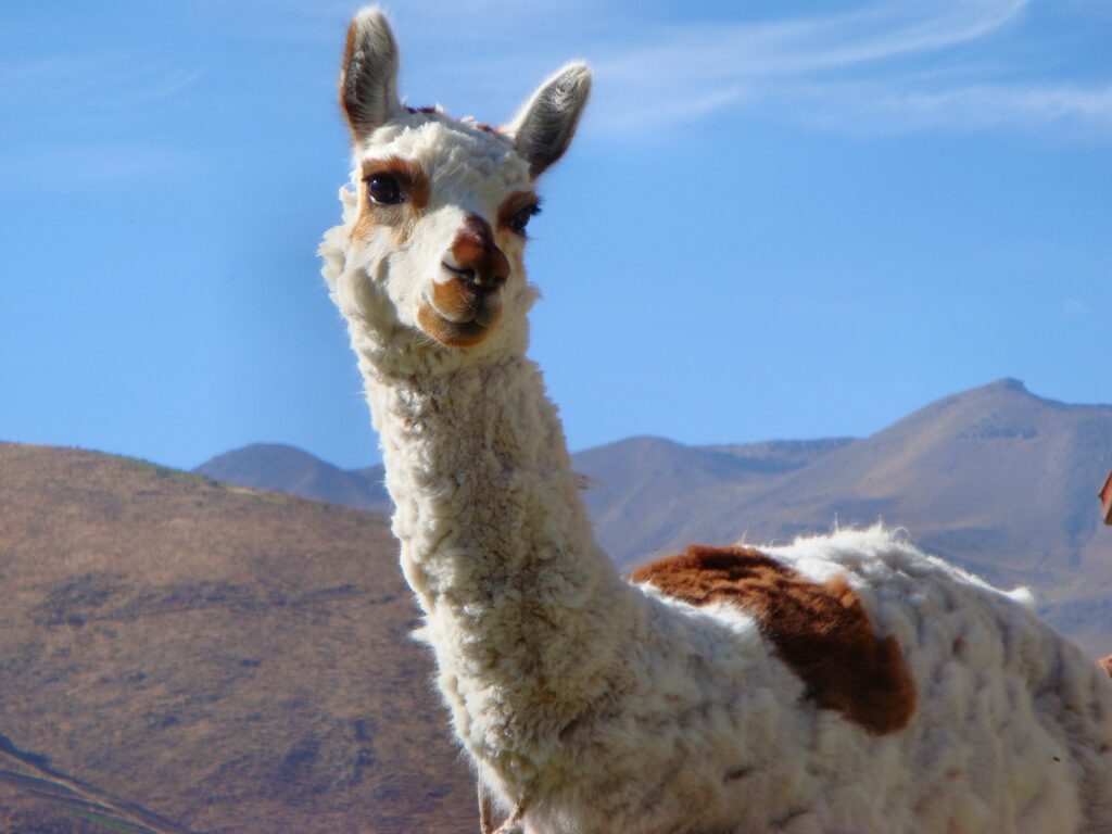
Pumas, Condors, Llamas, and Alpacas
The many lakes shimmer in an astonishing range of blues, while an extraordinary diversity of wildlife thrives in this magnificent habitat. More than 25 species of mammals live here, including pumas, llamas, alpacas, and Chile’s national animal, the South Andean deer, known locally as the huemul.
And soaring above all this natural splendor is the condor. Gracefully riding the Patagonian winds, it glides effortlessly through the powerful air currents that buffet tourists unpredictably during the summer months, sometimes reaching speeds of more than 75 mph. On the park’s open plains, the ostrich-like rheas race across the steppe. Guanacos, members of the camel family, also roam the landscape.
But life here is not without danger. Young guanacos are among the puma’s favorite prey. At dusk, the big cats emerge from the forests in search of their next meal. The condor, in turn, benefits from the hunting prowess of these predators. Nowhere else in the Andes is there such a large puma population at such a relatively low elevation as in this region.

Come to Paradise!
The 14-day Chilean Fjords cruise aboard Le Soléal, operated by the French cruise line Ponant, began in Valparaíso and ended in Ushuaia. The journey started with a pre-cruise program that included an overnight stay in Chile’s capital, Santiago. From there, a 90-minute bus ride took passengers to the port of embarkation, where an eight-hour guided tour, including lunch, was on the itinerary. The first glimpse of the bay and the ocean from the hillside was enough to stir enormous anticipation. Sailors and fishermen, singers and poets: for centuries, workers and artists alike have celebrated the beauty of Valparaíso.

Among the many tributes are poems by Nobel Prize-winning Chilean writer Pablo Neruda. They celebrate the city’s riot of colors, spread across a chain of 42 hills that frame the bay and the deep-blue Pacific like a giant amphitheater. Even its name seems to promise something extraordinary: Va al paraíso — come to paradise!
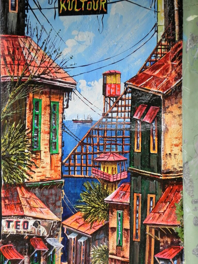
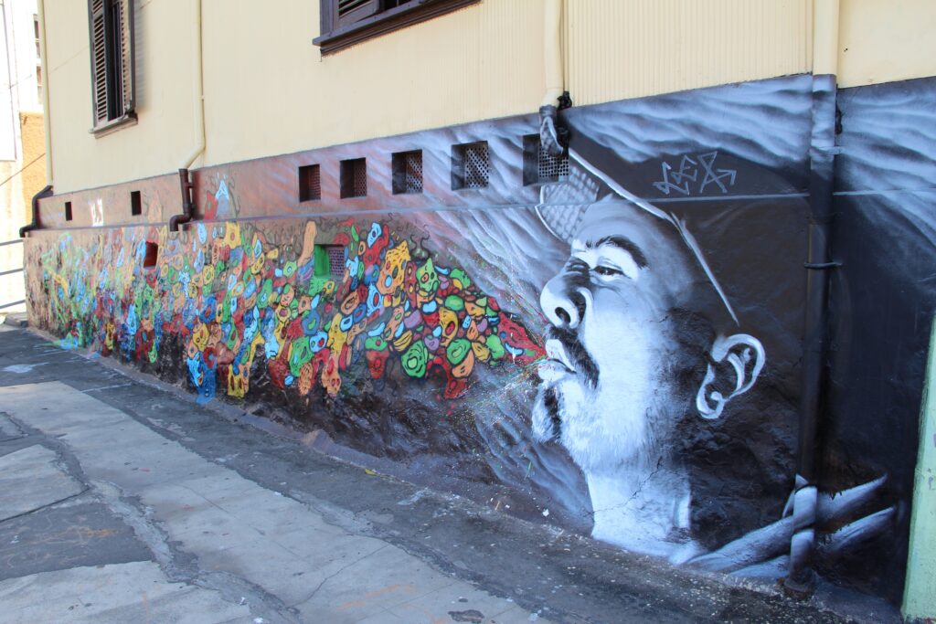
Today, the city’s appeal lies less in the concrete and glass high-rises downtown or the rather dilapidated port district than in the old neighborhoods climbing the hillsides. Here, small houses painted in vivid colors stand alongside murals and enormous graffiti artworks.
The entire historic quarter of Valparaíso, affectionately known as Valpo by locals, was designated a UNESCO World Heritage Site in 2003. Its neighborhoods, with their narrow lanes winding up the hillsides and panoramic views of the Pacific Ocean, were bursting with color long before spray paint was invented. Many of the modest wooden and corrugated-metal houses, as well as some magnificent villas, feature blue, yellow, red, green, or multicolored facades, often with window frames painted in equally bold shades.
Tour guides tell visitors that fishermen once painted their houses in different colors so they could recognize them from the water while out at sea. Another story has it that shipyard workers were allowed to take home leftover marine paint supplied by the shipping companies and use it on their walls.
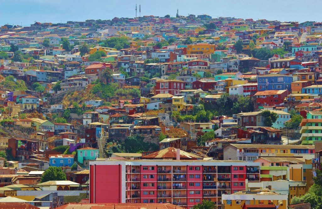
Whoever started the tradition, the neighbors soon followed suit. Before long, they were painting not only their houses but also the walls and staircases that crisscross the hilly neighborhoods. A simple coat of paint was not enough for everyone. More artistically inclined residents began using brushes and rollers to decorate walls with colorful scenes, following the tradition of Latin America’s distinctive murales.
The local government actively supports and promotes the street-art scene. The result is a city covered in world-class urban art and a feast for the eyes. Hotels, commercial buildings, and private homes are now deliberately designed with brightly painted facades, providing the backdrop for an extraordinary variety of murals.
Apple on the Water
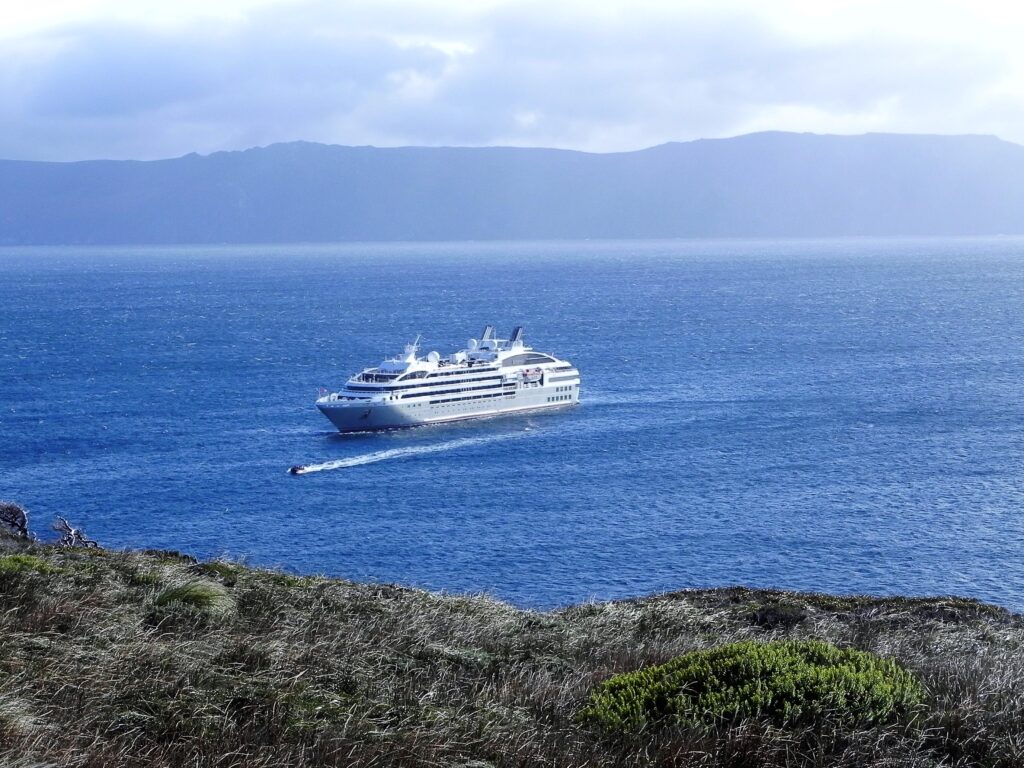
Le Soléal itself turns out to be a ship of contrasts. On the outside, the 264-passenger expedition yacht has a sleek silhouette and elegant lines. Inside, its understated design is stylish and harmonious, with carefully coordinated tones throughout. Spacious cabins and suites offer comfortable furnishings, and 95 percent come with private balconies.
Yet for a luxury expedition yacht, the atmosphere onboard is remarkably relaxed, almost familial. There is no requirement to dress for dinner in a tuxedo. Instead, the mood is one of casual elegance — rather like Apple on the water.
German is surprisingly easy to find in the small town of Frutillar, on the way to the next natural wonder. Signs advertising “Kuchen” appear on almost every corner. German immigrants settled here around a century ago, and their traditional recipes still attract plenty of attention.
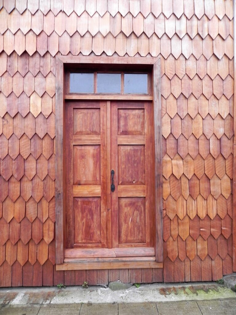
The wooden houses look like Alpine chalets from Bavaria or Swabia, while roses and dahlias bloom in the meticulously maintained front gardens. Three volcanoes dominate the backdrop: Osorno, Puntiagudo, and, a little farther away, Tronador. At 11,453 feet, the latter is the highest peak in the southern Andes and marks the border between Chile and Argentina.
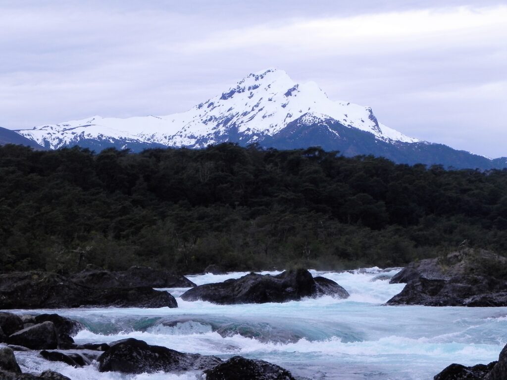
In the valley below the volcanoes lies Vicente Pérez Rosales National Park, crossed by a broad glacial river with rapids and waterfalls. The river flows through a lava bed formed after the eruption of Osorno in 1850. Its waters shimmer in varying shades of green, colored by minerals washed out of the lava. The resulting spectrum ranges from milky turquoise to deep emerald.
Wooden Churches and Houses on Stilts
After so many natural wonders, a little culture comes as a welcome change. The ship calls at Castro on Chiloé Island, which, at approximately 155 miles long and 50 miles wide, is South America’s second-largest island after Tierra del Fuego. The island’s capital, Castro, was founded in 1567, making it the third-oldest city in Chile. Until well into the 20th century, houses here were built almost entirely of wood because metal had to be imported at considerable expense. All the joints and connectors — even the nails — were made of wood.
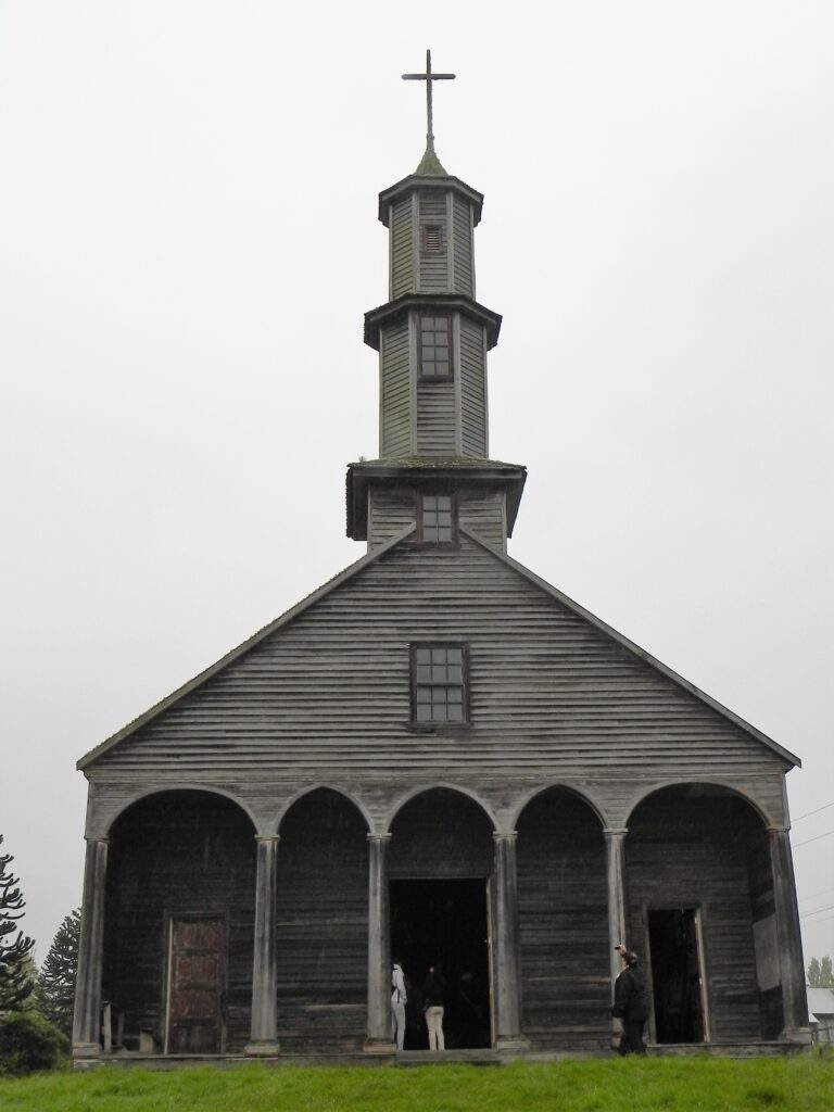
Jesuit missionaries arrived in Castro in 1608 and went on to build wooden churches throughout the archipelago. Around 40 of these structures have survived, 16 of which are now UNESCO World Heritage Sites. The church in Vilipulli, built in the early 18th century, is the oldest surviving church in the country.

Another distinctive feature of Chiloé is its collection of stilt houses along the coast. The tidal range here is between 23 and 33 feet, meaning that at low tide, the colorful wooden houses stand high above the exposed ground.
Chilean Fjords: The Glacier Is Anything but Silent
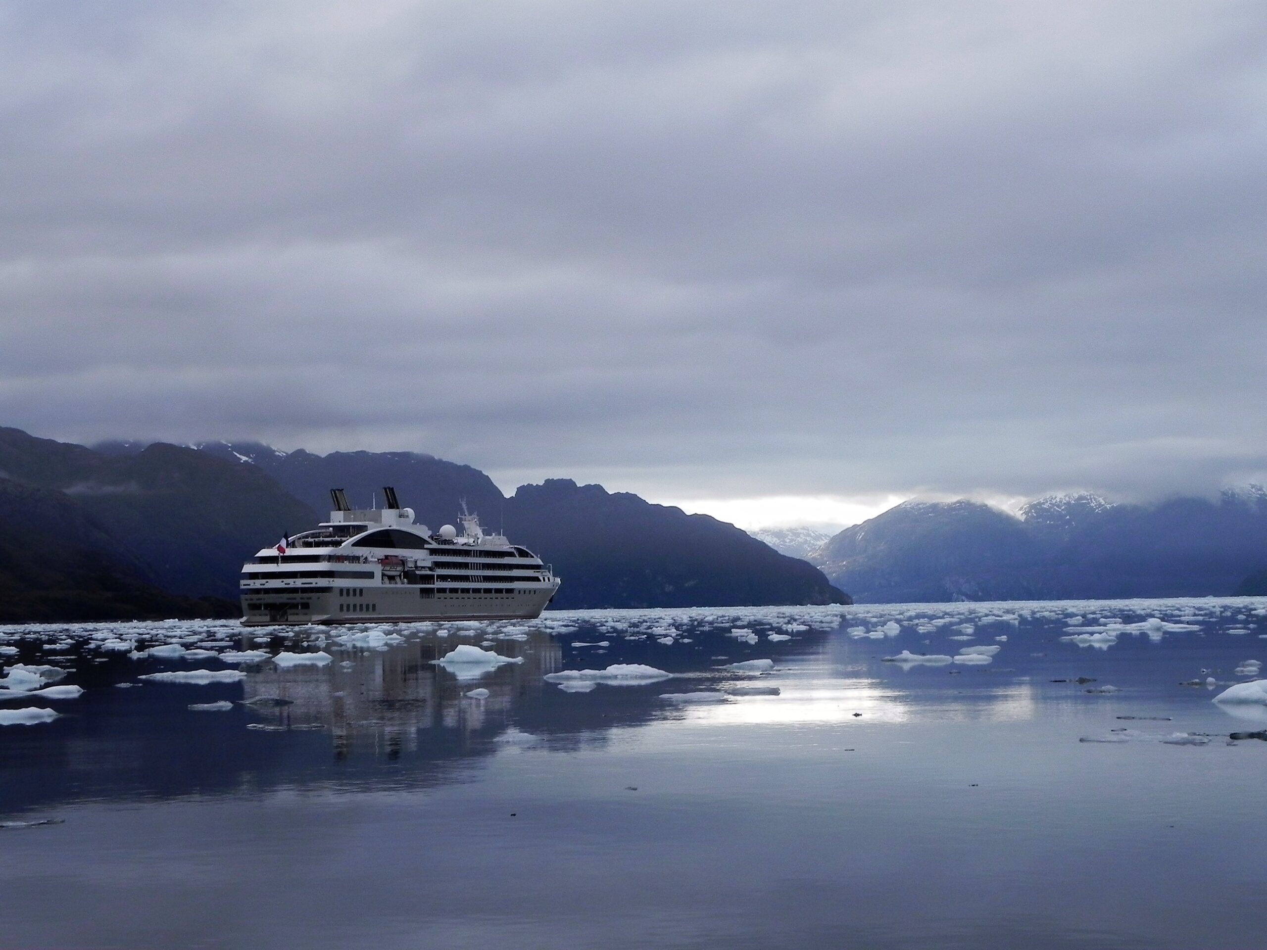
Le Soléal is positioned directly in front of Pius XI Glacier, with its dynamic positioning system keeping the ship steady. From the marina, Zodiac boats set off on an excursion through waters scattered with ice floes.
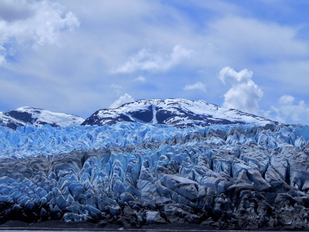
Once the engines are switched off, passengers settle into the silence, broken only by the crackling of tiny pieces of ice knocking against one another — a phenomenon known as pancake ice.
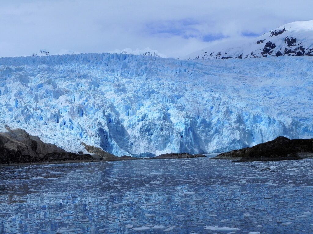
Suddenly, there is a deafening crack, like a rifle shot. Then the noise builds into an explosion. It is the glacier. The enormous wall of ice, rising nearly 200 feet above the water, is under tremendous pressure from the mass of ice behind it. At the front edge, large chunks periodically break away and crash into the water. The sound reverberates between the surrounding mountains, growing into a thunderous roar, accompanied by a cloud of ice spray and followed by larger waves that set the Zodiacs rocking.
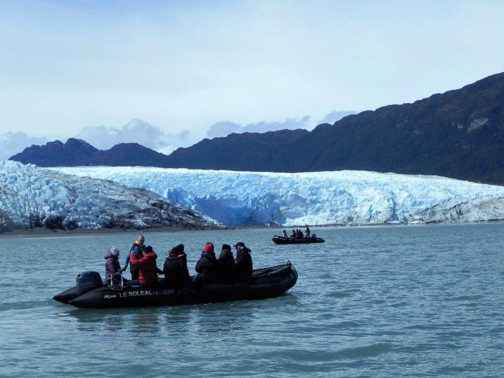
The initial shock quickly gives way to excitement. The boats are at a safe distance, and passengers can simply enjoy the spectacle of nature at work. Stretching for approximately 41 miles, the glacier was originally named after German-born geologist Juan Brüggen Messtorff. Chile’s naval authorities later renamed it Pius XI Glacier in honor of the late pope. It is the longest glacier in the Southern Hemisphere outside Antarctica and one of the very few glaciers in the world that is not retreating but continues to advance, albeit only slightly.
A Labyrinth of Channels
Along the coastline between here and the Beagle Channel lie around 500 navigable channels. Most, however, are suitable only for smaller vessels, ferries, or sailing yachts. Larger channels can be navigated only with local pilots, who specialize in the roughly 60 main waterways deep and wide enough to accommodate larger naval vessels, merchant ships, and cruise ships. Even 60 channels, however, are too many for a single pilot to master. Each of these maritime pathfinders therefore knows just 12 to 15 channels like the back of their hand and is responsible for navigating those particular routes.
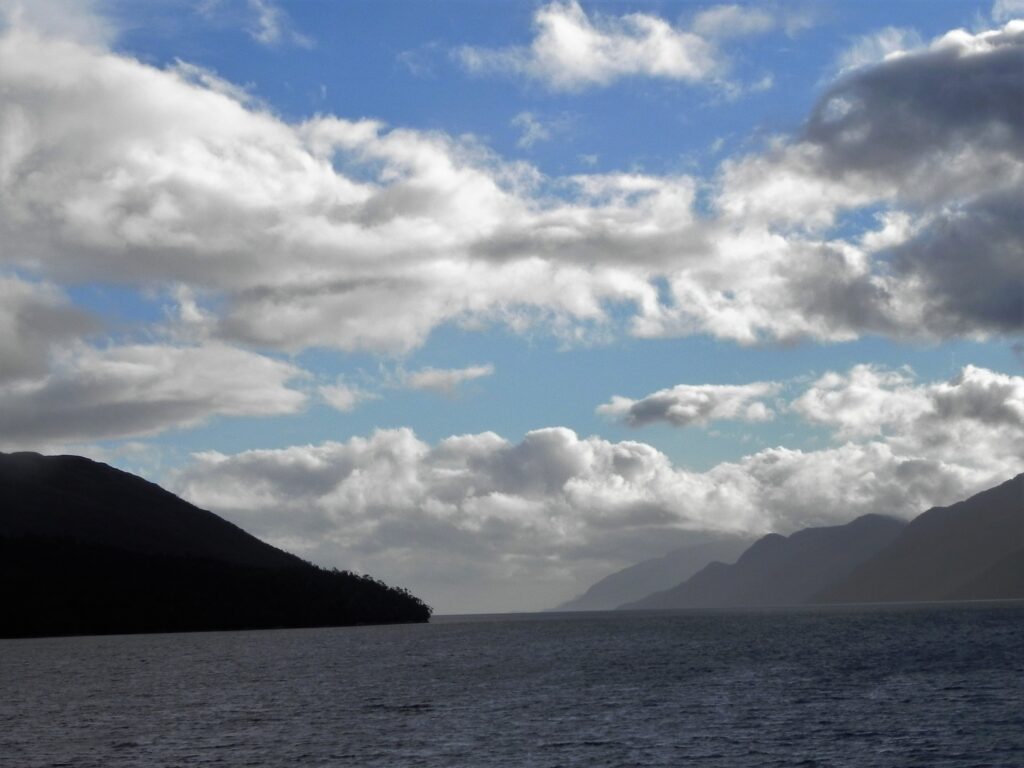
Three pilots come aboard Le Soléal to guide Captain Mickael Debien, the officers on watch, and the helmsman on duty. Their calm voices provide instructions as the ship makes its way through the intricate waterways. Luis Molina Valencia, 55, has been a pilot for 19 years. A merchant marine captain by training, he completed four years of pilot training, spent countless hours in simulators, and had to navigate each of his assigned channels at least a dozen times before being allowed to take command of a vessel on his own. Shifting sandbanks, changing shoals, shipwrecks lying directly in the ideal shipping lanes, constantly changing winds, and narrow passages all demand the utmost concentration.
From the Pacific to the Atlantic
After the earlier slalom through the channels under pilot guidance, entering the Beagle Channel is almost anticlimactic. Had the captain not made an announcement, passengers might easily have missed the moment. Yet alongside the Strait of Magellan, discovered more than 300 years earlier, the Beagle Channel is one of only two relatively sheltered passages connecting the Pacific and Atlantic oceans. There is wind here, too. But compared with the often ferocious gusts of the exposed Drake Passage, which leads around Cape Horn across open water, it feels like little more than a gentle breeze.

The Beagle Channel was discovered and named by British Captain Robert FitzRoy. His survey vessel bore the same name and, on its second voyage to the region, carried a passenger who would later become extraordinarily famous: 23-year-old naturalist Charles Darwin.
For centuries, ever since Ferdinand Magellan’s expedition in 1519, Terra Australis Incognita had marked the southernmost region known to Europeans. The name Patagonia itself dates back to Magellan, who called the Indigenous inhabitants of this barren landscape patagones. On the first expedition to take a European navigator this far south along the American continent, Magellan finally discovered the long-sought passage west in November 1520: a navigable connection between the Atlantic and Pacific oceans, subsequently named the Strait of Magellan in his honor.
To port lay nothing but barren, rocky, forestless land. Magellan’s men never set foot on it, but it appeared to be inhabited. Again and again, they spotted columns of smoke rising in the distance. They therefore called the land Tierra de los Humos, or Land of Smoke, a name that eventually evolved into Tierra del Fuego — Land of Fire.
Alone at Cape Horn
The legendary 1,394-foot rock formation marks the southernmost point of the South American mainland and lies on a headland of Isla de Hornos, a tiny island just under four miles long and a little over a mile wide. Its distinctive promontory was discovered on January 29, 1616, by two Dutch sailors on an expedition led by Captain Willem Cornelisz Schouten. He named it after his hometown, which had helped finance the voyage.
At the landing stage, accessible only by Zodiac, passengers are greeted by Juan Andrés Valenzuela Yañe. The Chilean Navy lieutenant has moved to this isolated rocky outpost with his wife and two children for a two-year assignment. The officer in his late 30s is responsible for the meteorological station, forwarding weather data and keeping records of every vessel that passes the island.
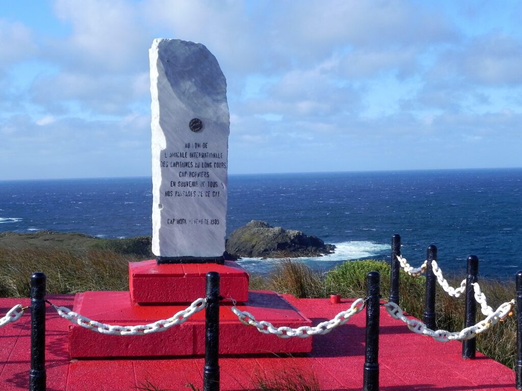
Life at Cape Horn takes its toll. The nearest doctor is more than 60 miles away, and in an emergency, a helicopter cannot always reach the island because of the weather. One prerequisite for taking the job is having had your appendix removed. The entire family’s dental health must also be in good shape. Lieutenant Yañe and his wife were additionally required to pass first-aid examinations so they could help one another in the event of an accident, life-threatening illness, or poisoning.
They rarely watch television because reception is unreliable. Sometimes the boys get bored and miss their friends and playmates. But the family has grown closer, Yañe says. He has plenty of time for his children, whom he also teaches every day following the curriculum provided by their teachers in Santiago. Between April and October, during the Southern Hemisphere’s winter, Cape Horn becomes even stormier and wetter. Almost no cruise ships venture this far south during those months.
But when a cruise ship such as Le Soléal drops anchor off the landing cove, the naval officer has his hands full — quite literally. He personally shakes hands with every passenger and crew member arriving at the landing stage. When larger vessels call, which happens only occasionally, that can mean as many as 2,000 handshakes in a single day.
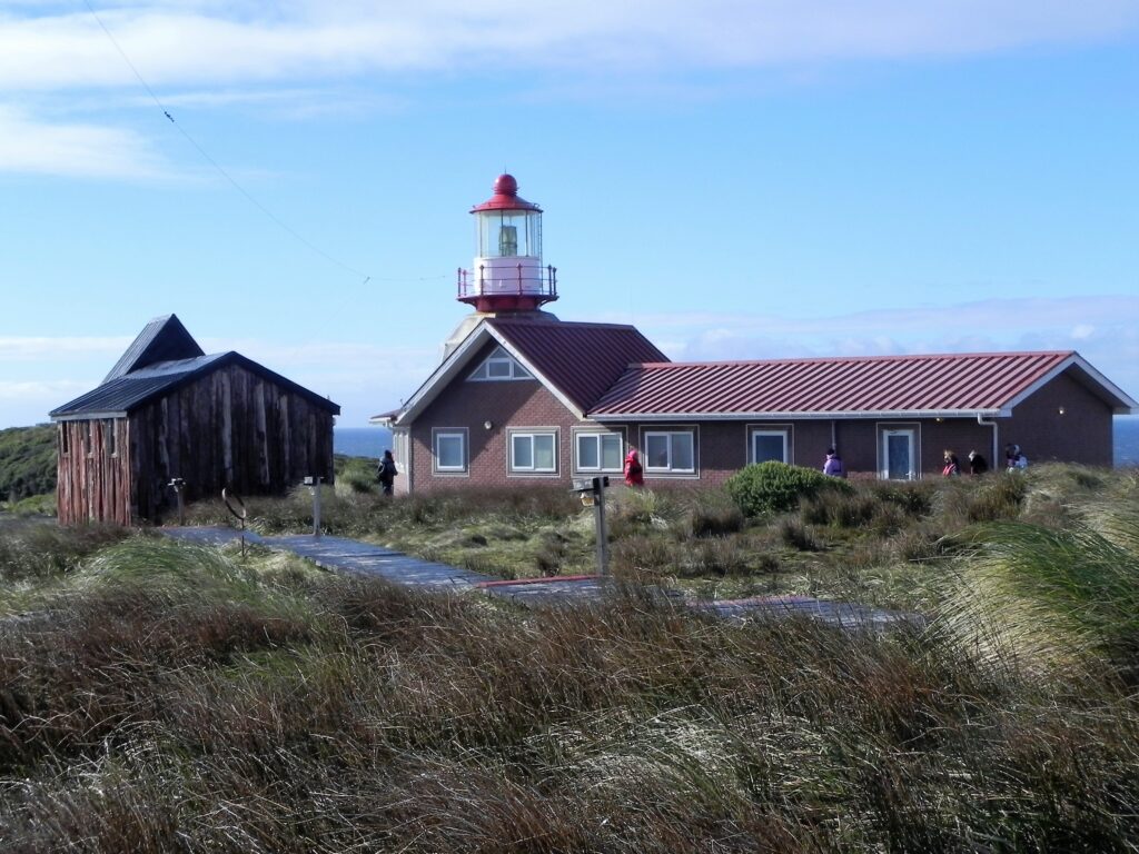
One of the main attractions on this remote rock is the tiny post office inside the lighthouse building. His wife, Paula, sells postcards there. Almost every visitor wants the coveted special Cape Horn postmark, which can also be stamped into passports.
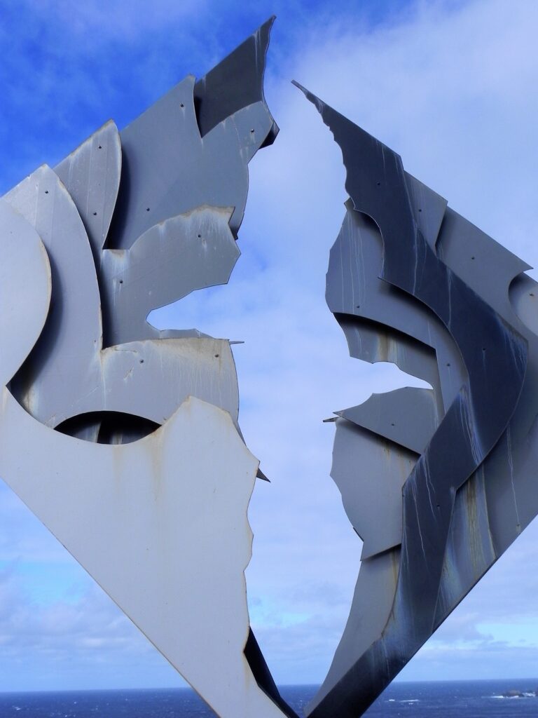
The other major attraction is the albatross memorial, dedicated to the sailors who lost their lives rounding Cape Horn. Around 800 ships have sunk or disappeared here, taking thousands of sailors to their deaths in the unforgiving waters as they attempted to navigate around the southern tip of the continent.
They are commemorated by a poem from Chilean poet Sara Vial, inscribed on the steel albatross sculpture: “I am the albatross waiting for you at the end of the world.” On this extraordinarily wild stretch of land, the sheer, brutal power of the ocean inspires an atmosphere of solemn reflection.
The End of the World
At the end of the world, the welcome is surprisingly friendly. Brilliant blue skies and virtually no wind greet passengers as the ship approaches Ushuaia, Argentina’s only city on the far side of the Andes and the southernmost city in the world.
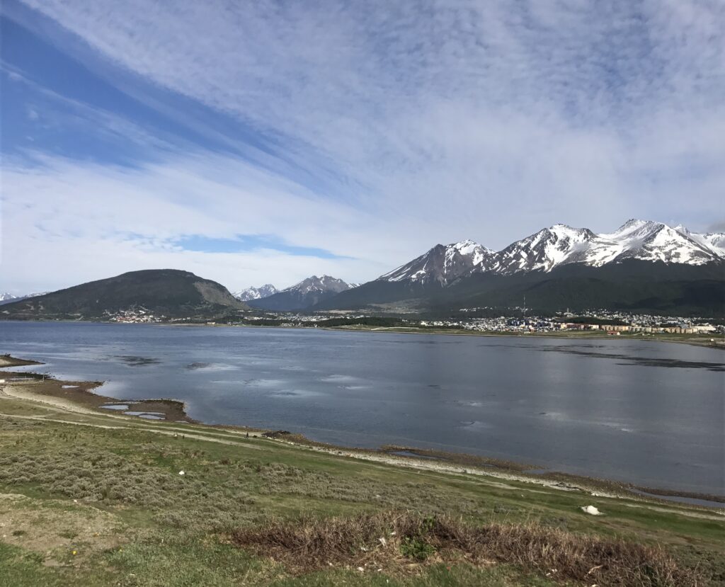
The town’s setting is spectacular: mountains capped with snow throughout the year rise behind it, while the Beagle Channel and its picturesque coastline provide a magnificent maritime backdrop.
There are few conventional sights to see, apart from a handful of wooden houses dating back to the town’s founding. But Ushuaia has something else to offer: an End of the World bar serving End of the World beer, an End of the World sign, an End of the World monument, and an endless selection of T-shirts, caps, and coffee mugs bearing End of the World slogans. The tourism marketing machine is certainly working. And, surprisingly enough, the End of the World beer tastes pretty good.